Header Text
Links to history pages:
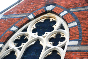
St Mary's Stained Glass Window (2014)
Where do we start
The History of St Mary’s Church
Introduction
Early Wythall
Medieval Wythworth
Road maps and the beginning of the Church
Life on the Manor
Industries
 Links to history pages: